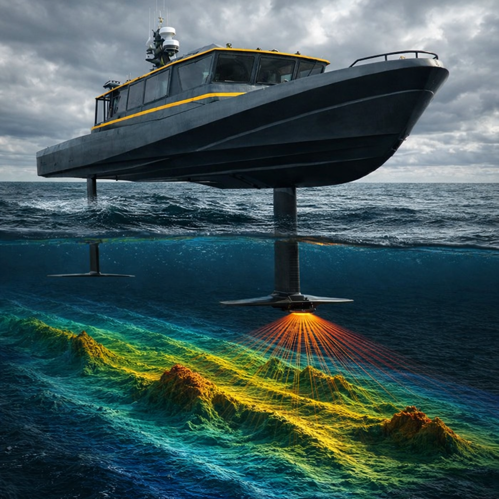
The ocean is changing faster than conventional survey vessels can map it.
SonaFoil transforms seafloor surveying from a slow expedition into rapid, repeatable ocean intelligence.
20-30 Knots
4-5 Times Faster
Up to 80% Shorter Survey Timelines
Capture ultra-high-resolution multi-beam hydrographic data at 20 knots. SonaFoil delivers survey-grade bathymetry with drastically fewer vessel days, lower operational emissions, and accelerated data turnaround.
SUPPORTING CRITICAL OCEAN & INFRASTRUCTURE MISSIONS
Shallow-water environments are the most dynamic, high-traffic zones on the planet, yet traditional surveying here is painfully slow.
SonaFoil scales up your data production rate, ensuring ports, engineering firms, and defense commands get high-fidelity seafloor insights in days rather than weeks.
TRADITIONAL SURVEY METHODS ARE BOTTLENECKED.
Shallow-water seabed data is currently slow to update, highly expensive to collect, and often outdated by the time critical maritime decisions are made.
Advanced. Integrated. Turnkey.
- Turnkey Operational Delivery: We manage the entire operational lifecycle—including vessel mobilization, sensor integration, and data QA, minimizing the administrative and logistical burden on your internal team.
- Seamless Software Integration: Exporting clean, industry-standard hydrographic formats fully compatible with all major GIS, engineering, and defense processing suites.
- Pricus Marine Operational Pedigree: Backed by a verified history of safe, real-world marine logistics and professional project delivery.